So, I love to run. If you didn’t know that about me, you should. But I really hate running on concrete. I do it, because when I want to run, I usually don’t want to drive some place first. And I do it because I no longer live next door to the Barton Creek Green Belt.
Today I found a new trail run in Pacifica. It’s intense, it’s high, and it’s exceptionally cold. Sounds like fun, right? So get on your hat, gloves, leggings, and get ready. It’s the Sweeney Ridge trail. I found it by accident when poring over Google Maps trying to plan a bike route in Pacifica that doesn’t involve gear crushing, chain derailing hills (turns out that is impossible, fyi).
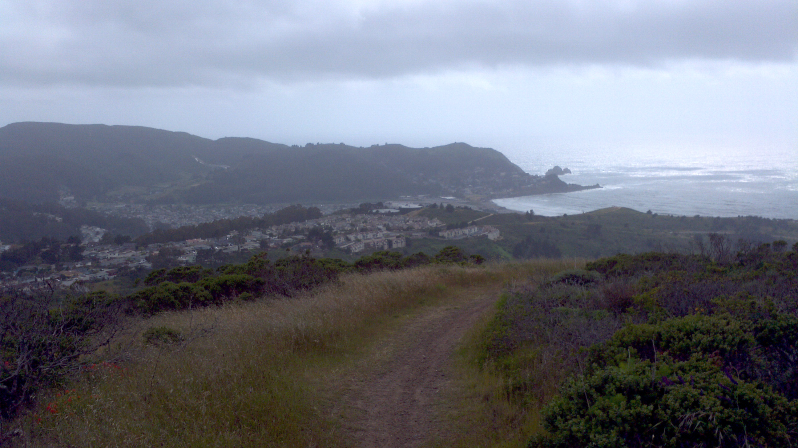
So, today, since my topo map told me it was going to be rough, I made an exception and drove to the trail head. Follow the signs for the Shelldance Orchid gardens off route 1. The trailhead is in their parking lot. I’d recommend doing laps in the parking lot or something because you really need a warmup for what’s about to happen. The trail launches out of that parking lot like a rocket. It’s damn near straight up for about a mile. You go from about 250ft above sea level to about 900 before the trail begins to soften into something you would call a “moderate incline”. Here’s a picture after finally getting up there, looking back at the climb.
Up there, things get easier. You pass the ruins of the Nike Missile Command center. It’s a nice break to stop and poke around the buildings. From there you keep going up along the ridge, cresting at around 1200ft. Up there, you come to the place where the Spanish Portola expedition first saw the San Francisco Bay. It has a wonderful view of the bay (as you might expect), but it was really cloudy so I couldn’t get a good picture.
Then you come down near Linda Mar (that’s the shovel shaped bay down in front): You end up on Fassler Ave, and you can make a giant loop out of it for a grand total of 6 miles. I have dubbed one of my hilly runs here “Escape from Pacifica“. This one, I think I’ll call “Escape From Pacifica Sudden Death” in homage to that ass kicking beginning. (Turn on the topo display on that map and take a look!)
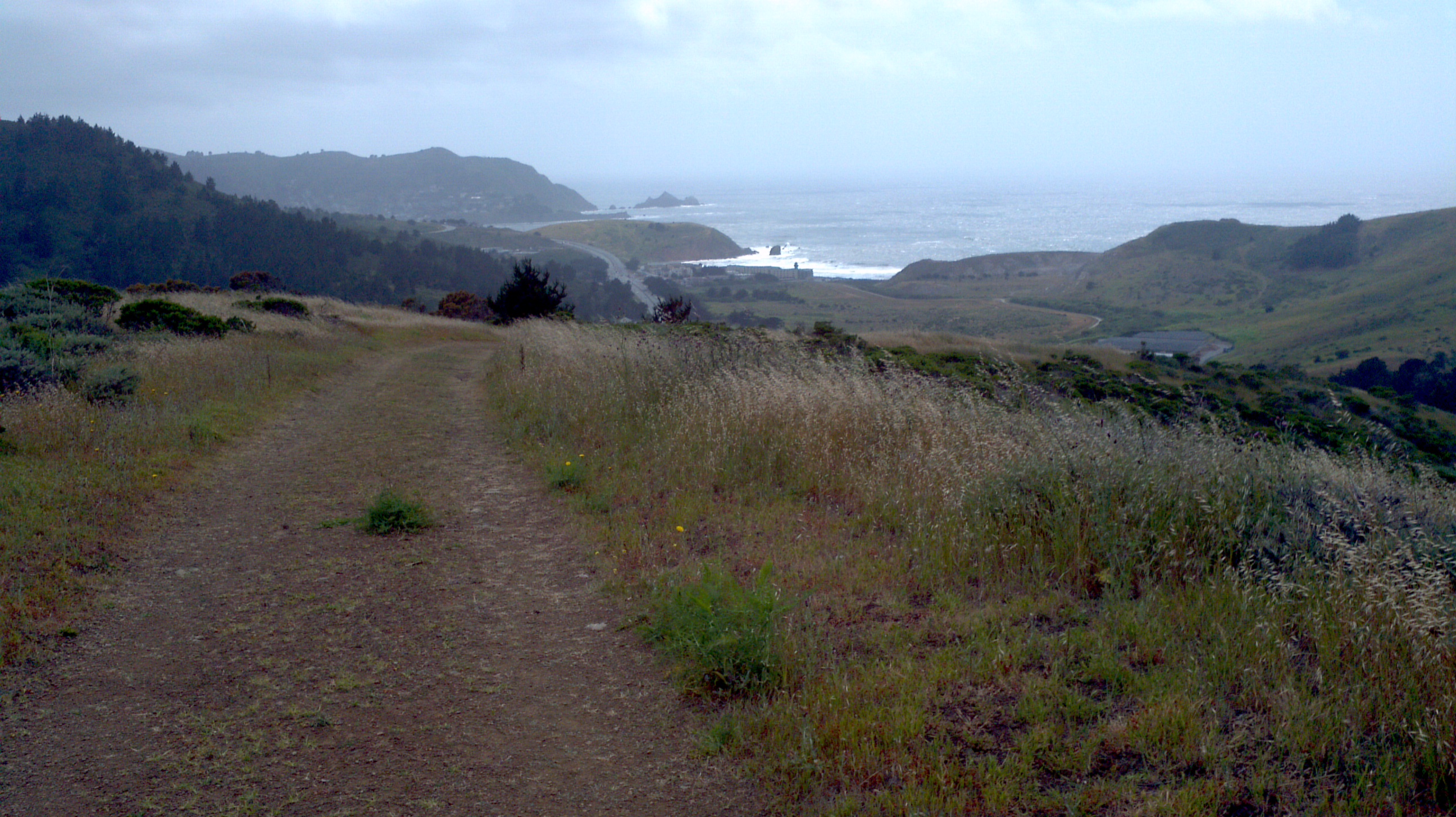
Also, the GGNRA is thinking of closing Sweeney Ridge to Dogs. Then there’d be no more trail pictures like this one:
 You can make comments about the closures they are proposing here (the proposal covers much of Marin, San Francisco, and San Mateo, so it might be worth your time to take a look).
If you plan to do this run (and I think you should), dress warm. This is not the wimpy Texan-can’t-deal-with-anything-under-85-degrees talking. The wind comes up off the ocean and rips along that ridge. It was blowing so hard, it was a struggle to hold the phone still to take pictures. Dress in layers, take water. Have fun.


It’s a good thing that you’ve found a trail. And it looks like its gonna be a tough run but enjoyable too as you’ve reach the end of your journey. Nice one!
Once your knee is a bit better, I want to try this run with you.
Definitely!!!